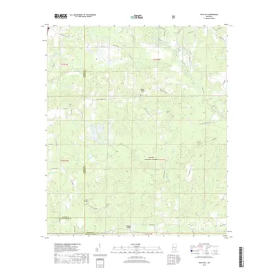
2018 Map of Rock Hill
USGS Topo · Published 2018About this map
De Soto National Forest dominates this section of South Mississippi, where the piney woods of Forrest, Lamar, and Pearl River Counties converge. The settlement of Rock Hill serves as a central point in a landscape defined by an extensive network of creeks and branches, including Black Creek, Little Black Cr, and Sleeper Cr. The topography is marked by the distinctive elevation of Pistol Ridge in the south, while the northern reaches are crisscrossed by rural routes such as Purvis to Brooklyn Rd and Churchwell Rd. For those tracing family histories, the map identifies several local burial sites, such as Anderson Cem, Rock Hill Cem, and Simmons Cem. The distribution of these family-named landmarks and cemeteries reveals the dispersed nature of rural life in this timber and creek-rich region during the early twenty-first century.
Find a feature on this map
57 named features on this map. Tap any name to fly to it.
Don’t see what you’re looking for? This feature index may not catch every label — zoom into the map to look around manually.
Map Details
Editions of this 2018 Rock Hill Map
This is the sole edition of this map. No revisions or reprints were ever made.
Other maps of this area

1947 · Wiggins
USGS Topo · 1:62,500

1947 · New Augusta
USGS Topo · 1:62,500

1949 · Wiggins
USGS Topo · 1:62,500

1949 · New Augusta
USGS Topo · 1:62,500

1953 · Hattiesburg
USGS Topo · 1:250,000

1953 · Mobile
USGS Topo · 1:250,000

1957 · Mobile
USGS Topo · 1:250,000

1958 · Hattiesburg
USGS Topo · 1:250,000

1958 · Carnes
USGS Topo · 1:62,500

1960 · Mobile
USGS Topo · 1:250,000