Loading...
Loading map...2024 Map of Rock Hill
USGS Topo · Published 2024About this map
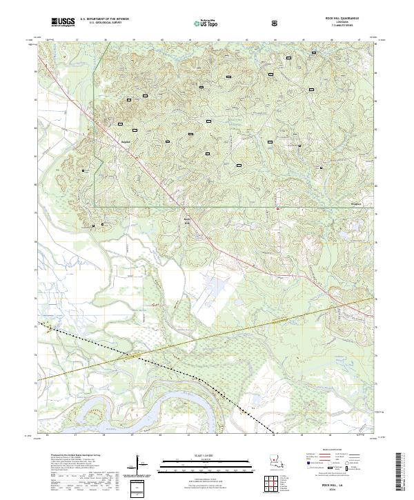
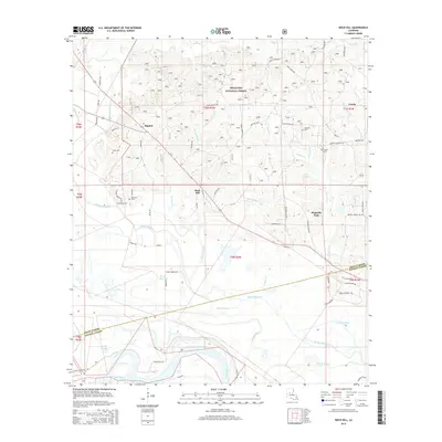
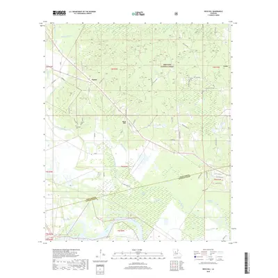
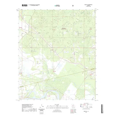
Kisatchie National Forest dominates the northern half of this landscape, where the mixed pine and hardwood uplands transition into the complex riparian network of the Red River valley. The Red River itself skirts the southern edge, feeding an intricate system of wetlands and meandering waterways including Bayou Rigolette, Saline Bayou, and Walden Bayou. These wetlands create a distinct boundary between the managed forest hills and the low-lying alluvial plains to the south.
Find a feature on this map
64 named features on this map. Tap any name to fly to it.
Don’t see what you’re looking for? This feature index may not catch every label — zoom into the map to look around manually.
Map Details
Date Portrayed2024
Date Published2024
PublisherU.S. Geological Survey
Map TypeTopographic
Scale1:24,000
Physical Dimensions24 x 29 inches
Editions of this 2024 Rock Hill Map
This is the sole edition of this map. No revisions or reprints were ever made.
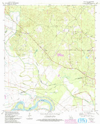
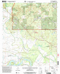
Historical Maps of Rock Hill Through Time
7 maps found
Featured Locations
Source Details
SourceU.S. Geological Survey
CopyrightPublic Domain