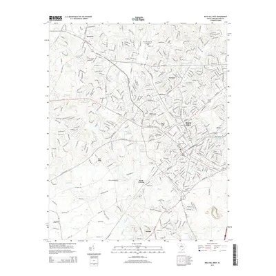
2014 Map of Rock Hill West
USGS Topo · Published 2014About this map
Winthrop Univ and Clinton Jr Coll anchor the educational landscape of York County in this detailed mid-2010s survey. The city of Rock Hill is the primary urban center, surrounded by distinct neighborhoods and communities such as Fairlawn, Ebenezer, and Oakdale. These settlements are interconnected by a dense network of transit corridors including Cherry Rd, Celanese Rd, and the expansive Dave Lyle Blvd.
Find a feature on this map
35 named features on this map. Tap any name to fly to it.
Don’t see what you’re looking for? This feature index may not catch every label — zoom into the map to look around manually.
Map Details
Editions of this 2014 Rock Hill West Map
This is the sole edition of this map. No revisions or reprints were ever made.
Other maps of this area
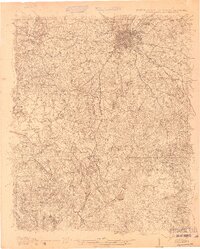
1905 · Charlotte
USGS Topo · 1:48,000
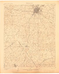
1907 · Charlotte
USGS Topo · 1:62,500

1941 · Charlotte
USGS Topo · 1:125,000

1941 · Spartanburg
USGS Topo · 1:250,000

1942 · Charlotte
USGS Topo · 1:125,000
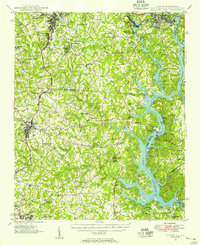
1947 · Clover
USGS Topo · 1:62,500
1949 · Clover
USGS Topo · 1:62,500
1949 · Rock Hill
USGS Topo · 1:62,500

1953 · Spartanburg
USGS Topo · 1:250,000

1953 · Charlotte
USGS Topo · 1:250,000