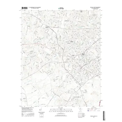
2017 Map of Rock Hill West
USGS Topo · Published 2017About this map
Rock Hill serves as the primary hub of this York County landscape, where the urban grid of W Main St and S Cherry Rd radiates out toward evolving residential developments. The area is anchored by several long-standing institutions, most notably Clinton Coll, which marks the educational and social fabric of the community. Moving toward the city's periphery, the map reveals a collection of established neighborhoods and smaller settlements including Ebenezer, Boyd Hill, and Miller Crossing, illustrating the post-war expansion of the region.
Find a feature on this map
33 named features on this map. Tap any name to fly to it.
Don’t see what you’re looking for? This feature index may not catch every label — zoom into the map to look around manually.
Map Details
Editions of this 2017 Rock Hill West Map
This is the sole edition of this map. No revisions or reprints were ever made.
Other maps of this area

1905 · Charlotte
USGS Topo · 1:48,000

1907 · Charlotte
USGS Topo · 1:62,500

1941 · Charlotte
USGS Topo · 1:125,000

1941 · Spartanburg
USGS Topo · 1:250,000

1942 · Charlotte
USGS Topo · 1:125,000

1947 · Clover
USGS Topo · 1:62,500

1949 · Clover
USGS Topo · 1:62,500

1949 · Rock Hill
USGS Topo · 1:62,500

1953 · Spartanburg
USGS Topo · 1:250,000

1953 · Charlotte
USGS Topo · 1:250,000