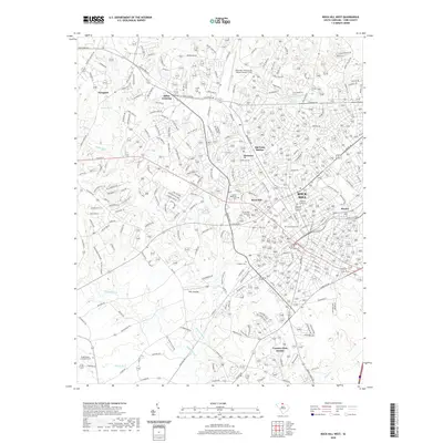
2020 Map of Rock Hill West
USGS Topo · Published 2020About this map
Winthrop University and Clinton College anchor the eastern urban core of this York County landscape, where the city of Rock Hill expands toward its northwestern suburbs. The map reveals a transition from the established street grid of the city center to the developing residential neighborhoods of Country Club Estates and Newport. Local heritage is preserved in numerous burial grounds, including Laurelwood Cem and the Barber Memorial Cem near Boyd Hill.
Find a feature on this map
212 named features on this map. Tap any name to fly to it.
Don’t see what you’re looking for? This feature index may not catch every label — zoom into the map to look around manually.
Map Details
Editions of this 2020 Rock Hill West Map
This is the sole edition of this map. No revisions or reprints were ever made.
Other maps of this area

1905 · Charlotte
USGS Topo · 1:48,000

1907 · Charlotte
USGS Topo · 1:62,500

1941 · Charlotte
USGS Topo · 1:125,000

1941 · Spartanburg
USGS Topo · 1:250,000

1942 · Charlotte
USGS Topo · 1:125,000

1947 · Clover
USGS Topo · 1:62,500

1949 · Clover
USGS Topo · 1:62,500

1949 · Rock Hill
USGS Topo · 1:62,500

1953 · Spartanburg
USGS Topo · 1:250,000

1953 · Charlotte
USGS Topo · 1:250,000