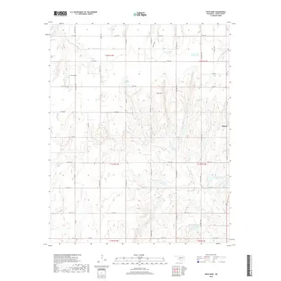
2018 Map of Rock Mary
USGS Topo · Published 2018About this map
Rock Mary, a prominent sandstone butte, stands as the central landmark of this Caddo County landscape. The terrain is deeply defined by erosion, notably at White Canyon, where drainage patterns feed into the Sugar Creek system. To the west, Dead Woman Creek cuts through the northern sections, illustrating the varied topography of this Oklahoma prairie.
Find a feature on this map
31 named features on this map. Tap any name to fly to it.
Don’t see what you’re looking for? This feature index may not catch every label — zoom into the map to look around manually.
Map Details
Editions of this 2018 Rock Mary Map
This is the sole edition of this map. No revisions or reprints were ever made.
Other maps of this area

1942 · Geary
USGS Topo · 1:62,500

1951 · Binger
USGS Topo · 1:62,500

1955 · Clinton
USGS Topo · 1:250,000

1957 · Clinton
USGS Topo · 1:250,000

1961 · Eakly
USGS Topo · 1:62,500

1964 · Weatherford
USGS Topo · 1:62,500

1979 · Hinton
USGS Topo · 1:24,000

1979 · Sickles
USGS Topo · 1:24,000
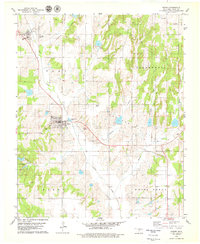
1979 · Binger
USGS Topo · 1:24,000
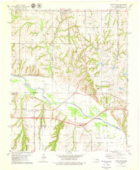
1979 · Geary South
USGS Topo · 1:24,000