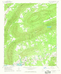
1967 Map of Rock Mountain
USGS Topo · Published 1968About this map
Lavender Mountain and Rock Mountain dominate this corner of northwest Georgia, framing the tight valleys of Texas Valley and Heath. The landscape is a mix of agricultural clearings and the protected timber of the Chattahoochee National Forest. Industrial activity is evident along the southern corridor near the Coosa River, where Claypits and Gravel Pits sit near the Krannert settlement and its namesake Krannert Sch.
Find a feature on this map
75 named features on this map. Tap any name to fly to it.
Don’t see what you’re looking for? This feature index may not catch every label — zoom into the map to look around manually.
Map Details
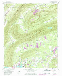
Editions of this 1967 Rock Mountain Map
2 editions found
Other maps of this area

1886 · Rome
USGS Topo · 1:125,000

1898 · Rome
USGS Topo · 1:125,000

1899 · Rome
USGS Topo · 1:125,000

1904 · Rome
USGS Topo · 1:125,000

1955 · Rome
USGS Topo · 1:250,000

1958 · Rome
USGS Topo · 1:250,000

1961 · Rome
USGS Topo · 1:250,000

1963 · Rome
USGS Topo · 1:250,000
1966 · Lyerly
USGS Topo · 1:24,000
1967 · Summerville
USGS Topo · 1:24,000