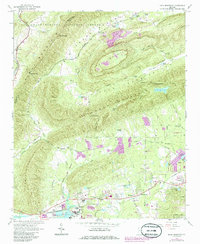
1967 Map of Rock Mountain
USGS Topo · Published 1986About this map
Texas Valley and the surrounding ridges of the Chattahoochee National Forest dominate this mid-century portrait of northwestern Georgia. The landscape is defined by the parallel elevations of Simms Mountain and Lavender Mountain, which channel local movement through gaps such as Henricks Gap and Kitchen Gap. The industrial and agricultural evolution of the region is evident in the south, where the Southern and Central of Georgia railroads converge near the industrial activity at Krannert and the Powerplant on the shores of Weiss Lake. This survey illustrates a community anchored by rural institutions, from the Antioch Ch in the north to the Coosa Schools and Mt Pleasant Ch further south. Numerous claypits and a quarry near Rock Mountain suggest the importance of extractive industry to the local economy during this era.
Find a feature on this map
65 named features on this map. Tap any name to fly to it.
Don’t see what you’re looking for? This feature index may not catch every label — zoom into the map to look around manually.
Map Details
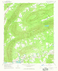
Editions of this 1967 Rock Mountain Map
2 editions found
Other maps of this area

1886 · Rome
USGS Topo · 1:125,000

1898 · Rome
USGS Topo · 1:125,000

1899 · Rome
USGS Topo · 1:125,000

1904 · Rome
USGS Topo · 1:125,000

1955 · Rome
USGS Topo · 1:250,000

1958 · Rome
USGS Topo · 1:250,000

1961 · Rome
USGS Topo · 1:250,000

1963 · Rome
USGS Topo · 1:250,000
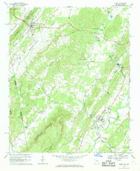
1966 · Lyerly
USGS Topo · 1:24,000
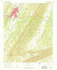
1967 · Summerville
USGS Topo · 1:24,000