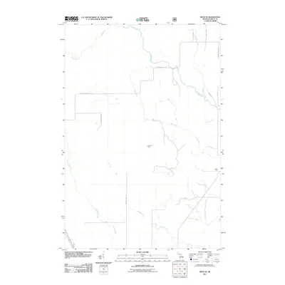
2011 Map of Rock SE
USGS Topo · Published 2011About this map
The Rapid River and Tacoosh River define the hydraulic character of this timber-rich pocket of the Upper Peninsula. Located within Delta County, the landscape is a network of drainage systems including Elm Creek, Boudreau Creek, and Inman Creek, which carve through the dense forest lands. Human presence is marked by specialized outposts like Clearman Camp and the rail-aligned history of Friday Spur, reflecting the region's long-standing connection to the logging industry.
Find a feature on this map
19 named features on this map. Tap any name to fly to it.
Don’t see what you’re looking for? This feature index may not catch every label — zoom into the map to look around manually.
Map Details
Editions of this 2011 Rock SE Map
This is the sole edition of this map. No revisions or reprints were ever made.
Other maps of this area

1932 · Gladstone NE
USGS Topo · 1:31,680

1932 · Rock SW
USGS Topo · 1:31,680

1932 · Trenary SW
USGS Topo · 1:31,680

1932 · Rock NE
USGS Topo · 1:31,680

1932 · Rapid River NW
USGS Topo · 1:31,680

1932 · Rock SE
USGS Topo · 1:31,680

1932 · Rock NW
USGS Topo · 1:31,680

1932 · Gladstone NW
USGS Topo · 1:31,680

1950 · Gladstone NW
USGS Topo · 1:31,680

1954 · Escanaba
USGS Topo · 1:250,000