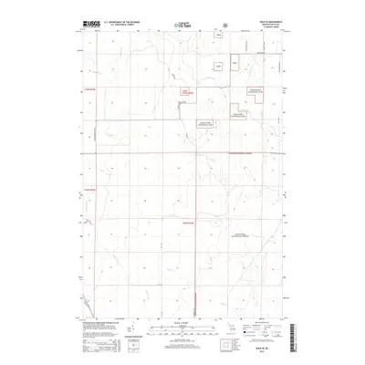
2014 Map of Rock SE
USGS Topo · Published 2014About this map
The Hiawatha National Forest dominates this section of Michigan's Upper Peninsula, where the landscape is defined by the complex drainage systems of the Rapid River and the Tacoosh River. This 2014 survey reveals a territory structured by managed timberlands and a sparse network of forest roads and trails. The map tracks the winding course of Inman Creek, Elm Creek, and Boudreau Creek, illustrating how these waterways carve through the Northwoods. Human presence is evidenced by rural routes such as Old M-35, Church P.1 Rd, and Osier 40th Rd, which serve as the primary access points for this remote region. For genealogists and local historians, these roads provide a spatial reference for family lands and logging history near Maki Rd and E Maple Ridge 37th Rd.
Find a feature on this map
24 named features on this map. Tap any name to fly to it.
Don’t see what you’re looking for? This feature index may not catch every label — zoom into the map to look around manually.
Map Details
Editions of this 2014 Rock SE Map
This is the sole edition of this map. No revisions or reprints were ever made.
Other maps of this area

1932 · Gladstone NE
USGS Topo · 1:31,680

1932 · Rock SW
USGS Topo · 1:31,680

1932 · Trenary SW
USGS Topo · 1:31,680

1932 · Rock NE
USGS Topo · 1:31,680

1932 · Rapid River NW
USGS Topo · 1:31,680

1932 · Rock SE
USGS Topo · 1:31,680

1932 · Rock NW
USGS Topo · 1:31,680

1932 · Gladstone NW
USGS Topo · 1:31,680

1950 · Gladstone NW
USGS Topo · 1:31,680

1954 · Escanaba
USGS Topo · 1:250,000