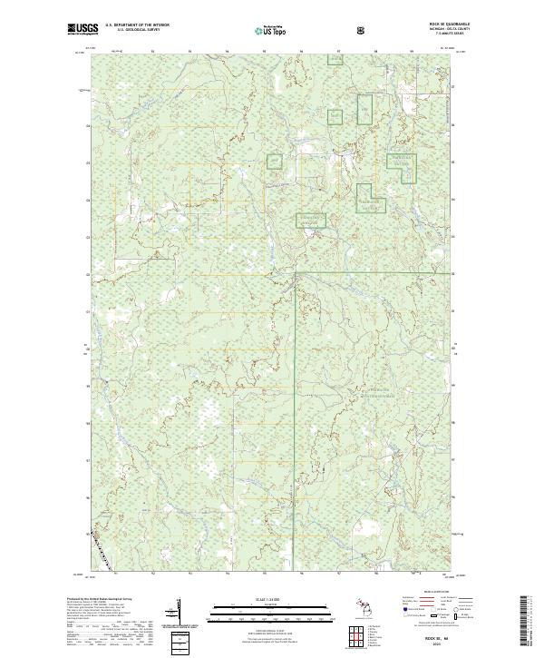
2023 Map of Rock SE
USGS Topo · Published 2023About this map
The Hiawatha National Forest dominates this landscape in Delta County, characterized by a complex network of wetlands and waterways. The Rapid River and Tacoosh River serve as primary drainage for the area, joined by numerous tributaries including Inman Creek, Elm Creek, and Billings Creek. This section of the Upper Peninsula is defined more by its natural hydrology and forest management than by dense settlement, with the public land boundaries of Hiawatha Nat For clearly delineated across several townships. A grid of local forest roads and connectors, such as Osier 40th Rd and E Maple Ridge 37th Rd, provides access through the timberland. Notably, the path of Old M-35 appears in the southwest, offering a window into the evolution of regional transportation routes and historical highway alignments through the Michigan woods.
Find a feature on this map
29 named features on this map. Tap any name to fly to it.
Don’t see what you’re looking for? This feature index may not catch every label — zoom into the map to look around manually.
Map Details
Editions of this 2023 Rock SE Map
This is the sole edition of this map. No revisions or reprints were ever made.
Other maps of this area

1932 · Gladstone NE
USGS Topo · 1:31,680

1932 · Rock SW
USGS Topo · 1:31,680

1932 · Trenary SW
USGS Topo · 1:31,680

1932 · Rock NE
USGS Topo · 1:31,680

1932 · Rapid River NW
USGS Topo · 1:31,680

1932 · Rock SE
USGS Topo · 1:31,680

1932 · Rock NW
USGS Topo · 1:31,680

1932 · Gladstone NW
USGS Topo · 1:31,680

1950 · Gladstone NW
USGS Topo · 1:31,680

1954 · Escanaba
USGS Topo · 1:250,000