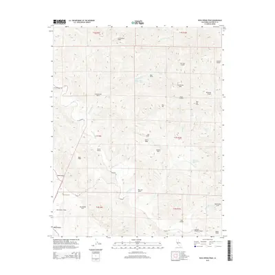
2015 Map of Rock Spring Peak
USGS Topo · Published 2015About this map
The San Andreas Fault cuts a significant path through this section of the Diablo Range, defining the linear geography of Bitterwater Valley. This landscape is characterized by the contrast between the flat valley floor where the small settlement of Bitterwater and the Bitterwater Cem are located, and the surrounding uplifted peaks like Rock Spring Peak and Pine Mtn.
Find a feature on this map
49 named features on this map. Tap any name to fly to it.
Don’t see what you’re looking for? This feature index may not catch every label — zoom into the map to look around manually.
Map Details
Editions of this 2015 Rock Spring Peak Map
This is the sole edition of this map. No revisions or reprints were ever made.
Other maps of this area

1913 · Panoche
USGS Topo · 1:125,000

1915 · Priest Valley
USGS Topo · 1:125,000

1919 · San Benito
USGS Topo · 1:62,500

1921 · Metz
USGS Topo · 1:62,500

1931 · San Benito
USGS Topo · 1:62,500

1940 · Metz
USGS Topo · 1:62,500

1940 · San Benito
USGS Topo · 1:62,500

1943 · Hernandez Valley
USGS Topo · 1:62,500

1944 · Hernandez Valley
USGS Topo · 1:62,500

1944 · Panoche Valley
USGS Topo · 1:62,500