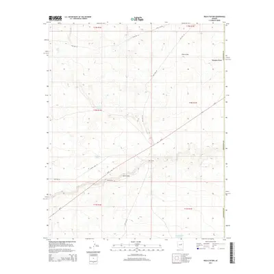
2014 Map of Rock Station
USGS Topo · Published 2014About this map
Jacks Canyon cuts through this high desert plateau in northern Arizona, serving as a primary geographical feature in a landscape defined by water management and transit. At the junction of Az-87 and Rock Station Rd lies Rock Station, a notable landmark along the corridor leading toward Winslow West. The area's reliance on seasonal water sources is evident through a sophisticated network of tanks and reservoirs, including Coon Tank, Prairie Dog Tank, and the larger Moonlight Bay Reservoir in the southern reaches of the quadrangle.
Find a feature on this map
23 named features on this map. Tap any name to fly to it.
Don’t see what you’re looking for? This feature index may not catch every label — zoom into the map to look around manually.
Map Details
Editions of this 2014 Rock Station Map
This is the sole edition of this map. No revisions or reprints were ever made.
Other maps of this area

1883 · Tusayan
USGS Topo · 1:250,000

1886 · Tusayan
USGS Topo · 1:250,000

1886 · Holbrook
USGS Topo · 1:250,000

1893 · Holbrook
USGS Topo · 1:250,000

1947 · Flagstaff
USGS Topo · 1:250,000

1954 · Winslow
USGS Topo · 1:62,500

1954 · Winslow 4 SW
USGS Topo · 1:24,000

1954 · Flagstaff
USGS Topo · 1:250,000

1954 · Holbrook
USGS Topo · 1:250,000

1955 · Sunset Knoll 2 SW
USGS Topo · 1:24,000