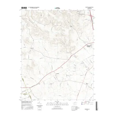
2016 Map of Rockfield
USGS Topo · Published 2016About this map
The community of Rockfield serves as a central hub in this Warren County landscape, situated along the primary corridor of Russellville Rd. To the northeast, the outskirts of Bowling Green begin to emerge, connected by major infrastructure including the William H Natcher Pkwy and the historic Memphis Junction Rd. The terrain is characterized by a network of small watercourses such as Brush Cr and Chism Cr, which carve through the countryside near Cedar Bluff and Blue Level.
Find a feature on this map
83 named features on this map. Tap any name to fly to it.
Don’t see what you’re looking for? This feature index may not catch every label — zoom into the map to look around manually.
Map Details
Editions of this 2016 Rockfield Map
This is the sole edition of this map. No revisions or reprints were ever made.
Other maps of this area

1914 · Little Muddy
USGS Topo · 1:62,500

1921 · Bowling Green
USGS Topo · 1:62,500

1922 · Brownsville
USGS Topo · 1:62,500

1923 · Bowling Green
USGS Topo · 1:62,500

1923 · Brownsville
USGS Topo · 1:62,500

1951 · Woodburn
USGS Topo · 1:24,000

1951 · Auburn
USGS Topo · 1:24,000

1951 · South Union
USGS Topo · 1:24,000

1952 · Rockfield
USGS Topo · 1:24,000

1954 · Evansville
USGS Topo · 1:250,000