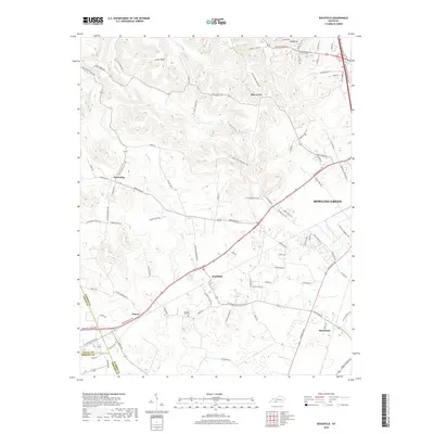
2019 Map of Rockfield
USGS Topo · Published 2019About this map
Rockfield and its surrounding countryside in Warren County are documented here as the suburban reaches of Bowling Green expand southwestward. This landscape is defined by the intersection of traditional agricultural settlements and modern transit corridors like the William H Natcher Pkwy. Older rural communities such as Petros, Browning, and Blue Level remain distinct, centered around networks of named family roads like Tommy Smith Rd and Jack Smith Rd.
Find a feature on this map
94 named features on this map. Tap any name to fly to it.
Don’t see what you’re looking for? This feature index may not catch every label — zoom into the map to look around manually.
Map Details
Editions of this 2019 Rockfield Map
This is the sole edition of this map. No revisions or reprints were ever made.
Other maps of this area

1914 · Little Muddy
USGS Topo · 1:62,500

1921 · Bowling Green
USGS Topo · 1:62,500

1922 · Brownsville
USGS Topo · 1:62,500

1923 · Bowling Green
USGS Topo · 1:62,500

1923 · Brownsville
USGS Topo · 1:62,500

1951 · Woodburn
USGS Topo · 1:24,000

1951 · Auburn
USGS Topo · 1:24,000

1951 · South Union
USGS Topo · 1:24,000

1952 · Rockfield
USGS Topo · 1:24,000

1954 · Evansville
USGS Topo · 1:250,000