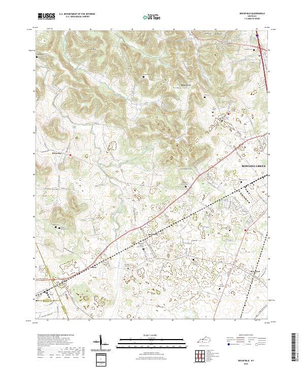
2022 Map of Rockfield
USGS Topo · Published 2022About this map
Rockfield and its surrounding communities are documented in this contemporary survey of Warren County, where the landscape is defined by its agrarian roots and family legacy. The geography transitions from the northern elevation of Briggs Hill down toward the central corridor of Russellville Rd, a primary artery connecting Petros and Browning to the edges of Bowling Green. This area is particularly notable for its high concentration of small, family-associated burial grounds, including the Cox Family Cem, Ronald Family Cem, and the Stanley - Christian Graveyard, which offer critical touchpoints for genealogical research.
Find a feature on this map
111 named features on this map. Tap any name to fly to it.
Don’t see what you’re looking for? This feature index may not catch every label — zoom into the map to look around manually.
Map Details
Editions of this 2022 Rockfield Map
This is the sole edition of this map. No revisions or reprints were ever made.
Other maps of this area

1914 · Little Muddy
USGS Topo · 1:62,500

1921 · Bowling Green
USGS Topo · 1:62,500

1922 · Brownsville
USGS Topo · 1:62,500

1923 · Bowling Green
USGS Topo · 1:62,500

1923 · Brownsville
USGS Topo · 1:62,500

1951 · Woodburn
USGS Topo · 1:24,000

1951 · Auburn
USGS Topo · 1:24,000

1951 · South Union
USGS Topo · 1:24,000

1952 · Rockfield
USGS Topo · 1:24,000

1954 · Evansville
USGS Topo · 1:250,000