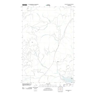
2010 Map of Rockford Bay
USGS Topo · Published 2010About this map
Rockford Bay serves as the focal point of this coastal and mountainous terrain along the Coeur d'Alene Lake region. The landscape is defined by the high elevations of Mica Peak and Twin Peaks, which overlook a complex drainage system including the North Fork Mica Creek and South Fork Mica Creek. These waterways, along with Fighting Creek and Bellgrove Creek, carve through the steep topography before reaching the lake at Harrison Slough.
Find a feature on this map
42 named features on this map. Tap any name to fly to it.
Don’t see what you’re looking for? This feature index may not catch every label — zoom into the map to look around manually.
Map Details
Editions of this 2010 Rockford Bay Map
This is the sole edition of this map. No revisions or reprints were ever made.
Other maps of this area

1901 · Spokane
USGS Topo · 1:125,000

1903 · Oakesdale
USGS Topo · 1:125,000

1903 · Rathdrum
USGS Topo · 1:125,000

1905 · Oakesdale
USGS Topo · 1:125,000

1949 · Greenacres
USGS Topo · 1:62,500

1951 · Greenacres
USGS Topo · 1:62,500

1954 · Fairfield
USGS Topo · 1:62,500

1955 · Spokane
USGS Topo · 1:250,000

1957 · Plummer
USGS Topo · 1:62,500

1957 · Coeur D'Alene
USGS Topo · 1:62,500