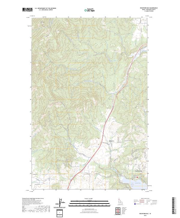
2024 Map of Rockford Bay
USGS Topo · Published 2024About this map
Rockford Bay sits along the western shoreline of Coeur d'Alene Lake, serving as a primary point of interface between the deep water and the upland timber country of Kootenai County. The terrain is defined by the high elevations of Mica Peak and Twin Peaks, where numerous drainages like North Fork Mica Creek and Fighting Creek carve through the landscape toward the lake. This modern topography illustrates the network of rural roads, such as W Rockford Bay Rd and Old US Hwy 95, that connect isolated settlements like Bellgrove to the water.
Find a feature on this map
61 named features on this map. Tap any name to fly to it.
Don’t see what you’re looking for? This feature index may not catch every label — zoom into the map to look around manually.
Map Details
Editions of this 2024 Rockford Bay Map
This is the sole edition of this map. No revisions or reprints were ever made.
Other maps of this area

1901 · Spokane
USGS Topo · 1:125,000

1903 · Oakesdale
USGS Topo · 1:125,000

1903 · Rathdrum
USGS Topo · 1:125,000

1905 · Oakesdale
USGS Topo · 1:125,000

1949 · Greenacres
USGS Topo · 1:62,500

1951 · Greenacres
USGS Topo · 1:62,500

1954 · Fairfield
USGS Topo · 1:62,500

1955 · Spokane
USGS Topo · 1:250,000

1957 · Plummer
USGS Topo · 1:62,500

1957 · Coeur D'Alene
USGS Topo · 1:62,500