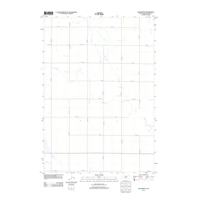
2012 Map of Rockham SE
USGS Topo · Published 2012About this map
Medicine Cr and Bryant Cr carve a winding course through this rural expanse of Hand County, defining the drainage patterns of an intensely surveyed agricultural landscape. The map reveals the rigid section lines of the Public Land Survey System, expressed through a nearly perfect grid of local roads such as 369th Ave and 177th St. While no large towns are present on this specific sheet, the density of the road network and the naming of small tributaries like Shaefer Cr and N Wolf Cr reflect the high degree of land organization in the early 21st-century Midwest. This survey captures a moment when the vast prairie has been fully integrated into a systematic network of farmsteads and rural infrastructure, providing a clear record of South Dakota's interior prairie lands.
Find a feature on this map
18 named features on this map. Tap any name to fly to it.
Don’t see what you’re looking for? This feature index may not catch every label — zoom into the map to look around manually.
Map Details
Editions of this 2012 Rockham SE Map
This is the sole edition of this map. No revisions or reprints were ever made.
Other maps of this area

1899 · Redfield
USGS Topo · 1:125,000

1953 · Huron
USGS Topo · 1:250,000

1954 · Huron
USGS Topo · 1:250,000

1966 · Burdette
USGS Topo · 1:24,000
1966 · Miranda
USGS Topo · 1:24,000
1966 · Rockham SW
USGS Topo · 1:24,000
1966 · Rockham
USGS Topo · 1:24,000
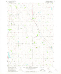
1966 · Rockham SE
USGS Topo · 1:24,000
1966 · Zell
USGS Topo · 1:24,000

1966 · Redfield SW
USGS Topo · 1:24,000