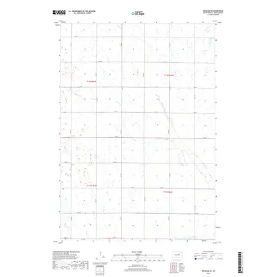
2017 Map of Rockham SE
USGS Topo · Published 2017About this map
Medicine Cr and Bryant Cr carve subtle drainage patterns across this section of Hand County, illustrating the hydraulic character of the eastern South Dakota plains. This 2017 survey documents a landscape defined by the rigid geometry of the Public Land Survey System, where section lines are strictly followed by a grid of local routes such as 174th St and 370th Ave. In the southwestern corner, the headwaters of Shaefer Cr and N Wolf Cr emerge, showing the subtle topographic shifts that direct water toward different drainage basins. The map provides a precise record of contemporary rural infrastructure, including the placement of secondary roads like Co Rd 11 and Co Rd 13 that connect the expansive agricultural tracts of townships T115N and T116N.
Find a feature on this map
24 named features on this map. Tap any name to fly to it.
Don’t see what you’re looking for? This feature index may not catch every label — zoom into the map to look around manually.
Map Details
Editions of this 2017 Rockham SE Map
This is the sole edition of this map. No revisions or reprints were ever made.
Other maps of this area

1899 · Redfield
USGS Topo · 1:125,000

1953 · Huron
USGS Topo · 1:250,000

1954 · Huron
USGS Topo · 1:250,000

1966 · Burdette
USGS Topo · 1:24,000
1966 · Miranda
USGS Topo · 1:24,000
1966 · Rockham SW
USGS Topo · 1:24,000
1966 · Rockham
USGS Topo · 1:24,000
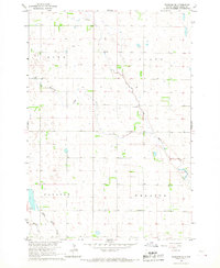
1966 · Rockham SE
USGS Topo · 1:24,000
1966 · Zell
USGS Topo · 1:24,000

1966 · Redfield SW
USGS Topo · 1:24,000