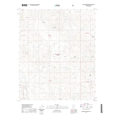
2021 Map of Rockinstraw Mountain
USGS Topo · Published 2021About this map
Tonto National Forest land dominates this high-elevation region of Gila County, where the terrain transitions between prominent summits and deeply cut drainages. The landscape is defined by its verticality, anchored by Rockinstraw Mtn and the jagged Apache Peaks. Throughout the area, a complex system of water management features like Rockinstraw Tank, Summit Tank, and Apache Tank Number Two underscores the necessity of livestock watering holes in this arid environment. The presence of the Richmond Basin in the east suggests a focus of local activity and drainage. This survey also records numerous natural water sources including Cherry Horizontal Spring and Mint Spring, while the historic Apache Trl skirts the southwestern corner near the Gerald Hills.
Find a feature on this map
60 named features on this map. Tap any name to fly to it.
Don’t see what you’re looking for? This feature index may not catch every label — zoom into the map to look around manually.
Map Details
Editions of this 2021 Rockinstraw Mountain Map
This is the sole edition of this map. No revisions or reprints were ever made.
Other maps of this area

1901 · Globe
USGS Topo · 1:62,500

1902 · Globe
USGS Topo · 1:62,500

1922 · Chrysotile
USGS Topo · 1:125,000

1945 · Globe
USGS Topo · 1:24,000

1945 · Inspiration
USGS Topo · 1:24,000

1947 · Inspiration
USGS Topo · 1:24,000

1949 · Rockinstraw Mtn
USGS Topo · 1:62,500

1950 · Rockinstraw Mtn
USGS Topo · 1:62,500

1954 · Mesa
USGS Topo · 1:250,000

1957 · Mesa
USGS Topo · 1:250,000