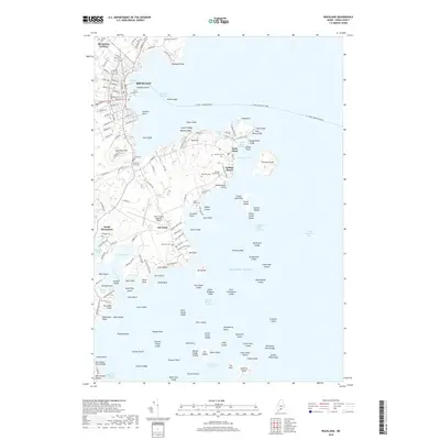
2018 Map of Rockland
USGS Topo · Published 2018About this map
Rockland dominates the western shore of Rockland Harbor, serving as a central maritime and commercial hub for this stretch of the Maine coast. The urban street grid transitions into a landscape of smaller coastal settlements like Owls Head and South Thomaston, where local history is preserved in a high density of neighborhood burial grounds, including Achorn Cem, Evergreen Cem, and Farnsworth Cem.
Find a feature on this map
168 named features on this map. Tap any name to fly to it.
Don’t see what you’re looking for? This feature index may not catch every label — zoom into the map to look around manually.
Map Details
Editions of this 2018 Rockland Map
This is the sole edition of this map. No revisions or reprints were ever made.
Other maps of this area

1904 · Vinalhaven
USGS Topo · 1:62,500

1904 · Tenants Harbor
USGS Topo · 1:62,500

1904 · Rockland
USGS Topo · 1:62,500

1905 · Penobscot Bay
USGS Topo · 1:125,000

1906 · Matinicus
USGS Topo · 1:62,500

1906 · Tennant Harbor
USGS Topo · 1:62,500

1906 · Rockland
USGS Topo · 1:62,500

1941 · Rockland
USGS Topo · 1:62,500

1941 · Vinalhaven
USGS Topo · 1:62,500

1944 · Vinalhaven
USGS Topo · 1:62,500