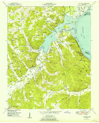
1950 Map of Rockport
USGS Topo · Published 1953About this map
Kentucky Lake dominates the eastern half of this 1950s survey, representing the altered landscape following the impoundment of the Tennessee River. The shoreline is characterized by complex inlets like Birdsong Creek and Little Birdsong Creek, where the rising waters transformed former terrestrial valleys into aquatic habitats now managed as the Tennessee National Migratory Wildlife Refuge. These hydrological changes are further evidenced by the Camden Dewatering Area and its associated pump and pipeline infrastructure.
Find a feature on this map
77 named features on this map. Tap any name to fly to it.
Don’t see what you’re looking for? This feature index may not catch every label — zoom into the map to look around manually.
Map Details
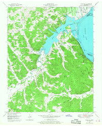
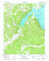
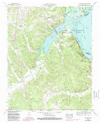
Editions of this 1950 Rockport Map
4 editions found
Other maps of this area

1936 · Camden
USGS Topo · 1:24,000

1936 · Seventeen Creek
USGS Topo · 1:24,000

1936 · Daniels Landing
USGS Topo · 1:24,000

1936 · Johnsonville
USGS Topo · 1:24,000

1936 · Bruceton
USGS Topo · 1:24,000

1936 · Sugar Tree
USGS Topo · 1:24,000

1936 · Cavvia
USGS Topo · 1:24,000

1936 · Rockport
USGS Topo · 1:24,000

1936 · Hustburg
USGS Topo · 1:24,000

1949 · Daniels Landing
USGS Topo · 1:24,000
Featured Places
- Camden, TN
- New Johnsonville, TN
- Birdsong Creek Subdivision, TN
- Birdsong Heights, TN
- Camden Bay Subdivision, TN