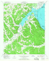
1950 Map of Rockport
USGS Topo · Published 1968About this map
Kentucky Lake and the Tennessee River dominate the eastern edge of this landscape, reflecting a geography fundamentally altered by mid-century water management. At the river’s bend, the Dewatering Area and the Tennessee National Migratory Wildlife Refuge mark the transition from riverine commerce to managed conservation. Local life in the early 1950s centered on crossroads like Chalklevel and Birdsong Heights, while the inland hills are dotted with family-named landmarks and rural institutions. Significant genealogical sites are scattered throughout the terrain, including Flowers Chapel, Shiloh Ch, and numerous burial grounds such as Hardin Cem and Wyly Cem. The presence of the Russell Field Lookout Tower suggests a landscape of working forests, while the Birdsong Dock and landings at Camden Landing and Trotters Landing highlight the enduring importance of the water for transport and recreation.
Find a feature on this map
70 named features on this map. Tap any name to fly to it.
Don’t see what you’re looking for? This feature index may not catch every label — zoom into the map to look around manually.
Map Details
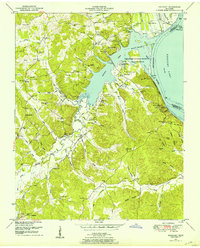
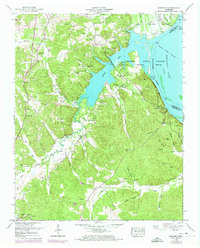
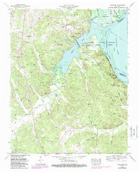
Editions of this 1950 Rockport Map
4 editions found
Other maps of this area

1936 · Camden
USGS Topo · 1:24,000

1936 · Seventeen Creek
USGS Topo · 1:24,000

1936 · Daniels Landing
USGS Topo · 1:24,000

1936 · Johnsonville
USGS Topo · 1:24,000

1936 · Bruceton
USGS Topo · 1:24,000

1936 · Sugar Tree
USGS Topo · 1:24,000

1936 · Cavvia
USGS Topo · 1:24,000

1936 · Rockport
USGS Topo · 1:24,000

1936 · Hustburg
USGS Topo · 1:24,000

1949 · Daniels Landing
USGS Topo · 1:24,000
Featured Places
- Camden, TN
- New Johnsonville, TN
- Birdsong Creek Subdivision, TN
- Birdsong Heights, TN
- Camden Bay Subdivision, TN