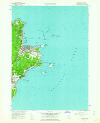
1960 Map of Rockport
USGS Topo · Published 1962About this map
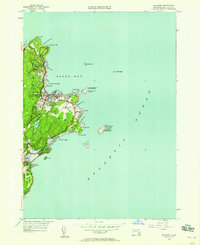
Rockport sits at the tip of Cape Ann, shown here in the early 1960s as a landscape defined by its coastal industries and maritime landmarks. The granite heritage of the region is evident in the numerous Quarry sites scattered near Pigeon Cove and Pigeon Hill. The town center shows a dense settlement pattern around Back Harbor, serviced by the Boston and Maine railroad line. To the south, residential development stretches toward Lands End and Bass Rocks, while several large recreational areas like the Rockport Golf Club appear.
Find a feature on this map
60 named features on this map. Tap any name to fly to it.
Don’t see what you’re looking for? This feature index may not catch every label — zoom into the map to look around manually.
Map Details
Editions of this 1960 Rockport Map
2 editions found
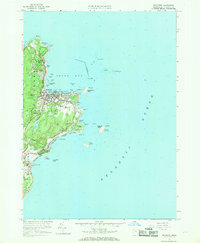
Other maps of this area

1886 · Gloucester
USGS Topo · 1:62,500

1888 · Gloucester
USGS Topo · 1:62,500

1893 · Gloucester
USGS Topo · 1:62,500

1918 · Gloucester
USGS Topo · 1:62,500

1943 · Cape Ann
USGS Topo · 1:125,000
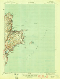
1945 · Rockport
USGS Topo · 1:31,680
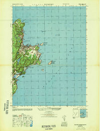
1947 · Rockport
USGS Topo · 1:25,000

1948 · Boston
USGS Topo · 1:250,000
1949 · Rockport
USGS Topo · 1:24,000

1956 · Boston
USGS Topo · 1:250,000