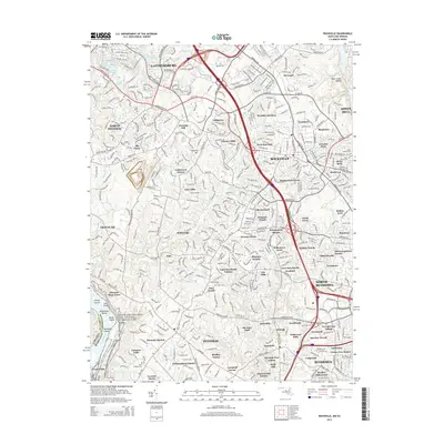
2014 Map of Rockville
USGS Topo · Published 2014About this map
Rockville and Gaithersburg anchor this densely developed landscape of suburban Montgomery County as it appeared in the early 21st century. The map highlights a complex hydrography defined by man-made lakes such as Inspiration Lake and Lake Placid, alongside historical watercourses like Muddy Br and Cabin John Cr. While much of the area is subdivided into residential enclaves like Hungerford Towne and Potomac Woods, the southwestern corner preserves the dramatic natural topography of Great Falls and the recreational corridor of the Chesapeake and Ohio Canal National Historical Park. Genealogists and local historians can locate several older burial sites, including the Union Armory Cem and Saint Marys Cem. The map also captures smaller communities with distinct local identities, such as Derwood and Beantown, positioned among the modern transit networks of the Maryland-Virginia borderlands.
Find a feature on this map
94 named features on this map. Tap any name to fly to it.
Don’t see what you’re looking for? This feature index may not catch every label — zoom into the map to look around manually.
Map Details
Editions of this 2014 Rockville Map
This is the sole edition of this map. No revisions or reprints were ever made.
Other maps of this area

1890 · Mt. Vernon
USGS Topo · 1:125,000

1891 · Mt. Vernon
USGS Topo · 1:125,000

1893 · Frederick
USGS Topo · 1:125,000

1894 · Frederick
USGS Topo · 1:125,000

1894 · Mt. Vernon
USGS Topo · 1:125,000

1897 · Mt. Vernon
USGS Topo · 1:125,000

1900 · Washington
USGS Topo · 1:62,500

1908 · Rockville
USGS Topo · 1:62,500

1908 · Seneca
USGS Topo · 1:62,500

1915 · Fairfax
USGS Topo · 1:62,500