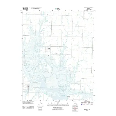
2011 Map of Rockville
USGS Topo · Published 2011About this map
The Osage River dominates the southern landscape of this Missouri quadrangle, winding through a complex system of wetlands and oxbow formations. This watery terrain is defined by numerous named features such as Horseshoe Lake, Twin Lakes, and Maus Lake, illustrating the river's historical shifts and its influence on local topography. The extensive Schell-Osage Reservoir Number 2 and Schell Lake further emphasize the region's managed aquatic environment, which likely serves as a significant habitat and drainage basin for the surrounding rural counties.
Find a feature on this map
47 named features on this map. Tap any name to fly to it.
Don’t see what you’re looking for? This feature index may not catch every label — zoom into the map to look around manually.
Map Details
Editions of this 2011 Rockville Map
This is the sole edition of this map. No revisions or reprints were ever made.
Other maps of this area

1886 · Nevada
USGS Topo · 1:125,000

1886 · Stockton
USGS Topo · 1:125,000

1887 · Clinton
USGS Topo · 1:125,000

1887 · Butler
USGS Topo · 1:125,000

1894 · Butler
USGS Topo · 1:125,000

1894 · Nevada
USGS Topo · 1:125,000

1894 · Clinton
USGS Topo · 1:125,000

1934 · Papinsville
USGS Topo · 1:24,000

1934 · Rockville
USGS Topo · 1:24,000

1937 · Tiffin
USGS Topo · 1:31,680