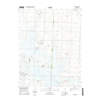
2015 Map of Rockville
USGS Topo · Published 2015About this map
Rockville and Schell City anchor this 2015 topographic study of the western Missouri borderlands where Bates, Vernon, and St. Clair counties meet. The landscape is defined by the winding course of the Osage River, which feeds a complex system of oxbows, sloughs, and managed wetlands including Schell Lake, See Lake, and the distinctive Horseshoe Lake. These water bodies and the surrounding drainage of Panther Cr and Campbell Br reflect a riparian environment heavily utilized for conservation and flood control.
Find a feature on this map
76 named features on this map. Tap any name to fly to it.
Don’t see what you’re looking for? This feature index may not catch every label — zoom into the map to look around manually.
Map Details
Editions of this 2015 Rockville Map
This is the sole edition of this map. No revisions or reprints were ever made.
Other maps of this area

1886 · Nevada
USGS Topo · 1:125,000

1886 · Stockton
USGS Topo · 1:125,000

1887 · Clinton
USGS Topo · 1:125,000

1887 · Butler
USGS Topo · 1:125,000

1894 · Butler
USGS Topo · 1:125,000

1894 · Nevada
USGS Topo · 1:125,000

1894 · Clinton
USGS Topo · 1:125,000

1934 · Papinsville
USGS Topo · 1:24,000

1934 · Rockville
USGS Topo · 1:24,000

1937 · Tiffin
USGS Topo · 1:31,680