Loading...
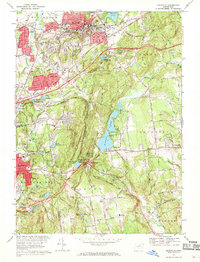
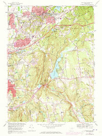
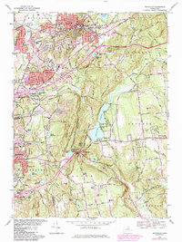
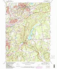
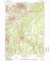
Loading map...1967 Map of Rockville
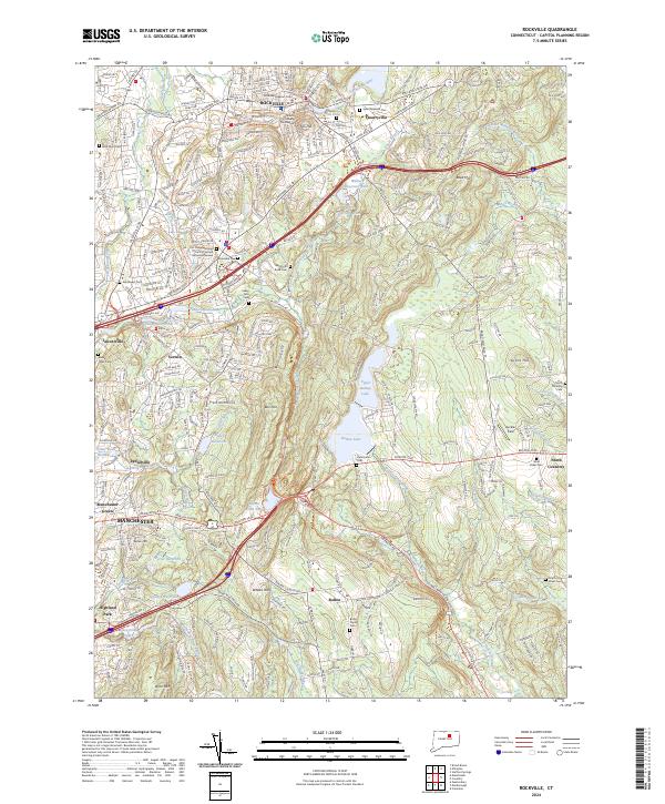
USGS Topo · Published 1969About this map
The industrial and residential landscape of Rockville and its surrounding hill towns is documented in this 1967 survey. The dense urban grid of Rockville centers on the Hockanum River and Paper Mill Pond, showing the area's manufacturing roots before the shift toward modern suburban expansion. A striking contrast exists between the tightly packed streets of the northern settlements and the open terrain around Bolton Notch, where the New York New Haven and Hartford railroad cuts through the gap near Bolton Notch State Park.
Find a feature on this map
81 named features on this map. Tap any name to fly to it.
Don’t see what you’re looking for? This feature index may not catch every label — zoom into the map to look around manually.
Map Details
Date Portrayed1967
Date Published1969
PublisherU.S. Geological Survey
Map TypeTopographic
Scale1:24000
Physical Dimensions20.6 x 26.9 inches
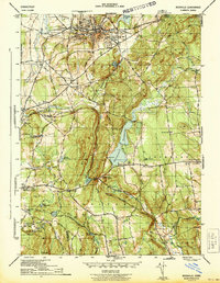
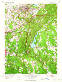
Editions of this 1967 Rockville Map
5 editions found
Historical Maps of Highland Park Through Time
4 maps found
Featured Locations
Source Details
SourceU.S. Geological Survey
CopyrightPublic Domain