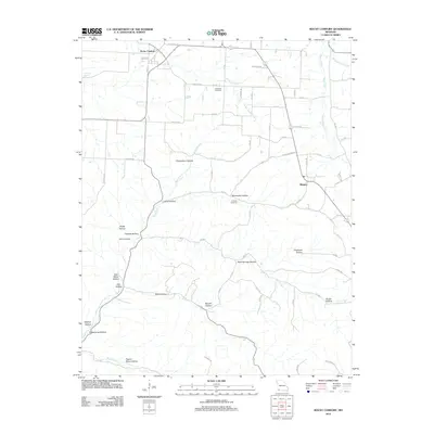
2012 Map of Rocky Comfort
USGS Topo · Published 2012About this map
Rocky Comfort and Ridgley serve as the primary hubs in this corner of McDonald County, where the landscape is defined by an intricate network of hollows and waterways. The topographic relief is marked by numerous named valleys such as Pigeon Roost Hollow, Layton Hollow, and Chairbottom Hollow, which channel drainage toward significant water bodies like South Indian Creek and Shoal Creek. This pattern of terrain suggests a long history of isolated homesteads and small-scale agriculture dictated by the local geography.
Find a feature on this map
65 named features on this map. Tap any name to fly to it.
Don’t see what you’re looking for? This feature index may not catch every label — zoom into the map to look around manually.
Map Details
Editions of this 2012 Rocky Comfort Map
This is the sole edition of this map. No revisions or reprints were ever made.
Other maps of this area

1937 · Cassville
USGS Topo · 1:48,000

1941 · Rocky Comfort
USGS Topo · 1:62,500

1943 · Ritchey
USGS Topo · 1:62,500

1943 · Monett
USGS Topo · 1:62,500

1943 · Rocky Comfort
USGS Topo · 1:62,500

1944 · Cassville
USGS Topo · 1:62,500

1945 · Harrison
USGS Topo · 1:250,000

1949 · Harrison
USGS Topo · 1:250,000

1954 · Harrison
USGS Topo · 1:250,000

1954 · Tulsa
USGS Topo · 1:250,000