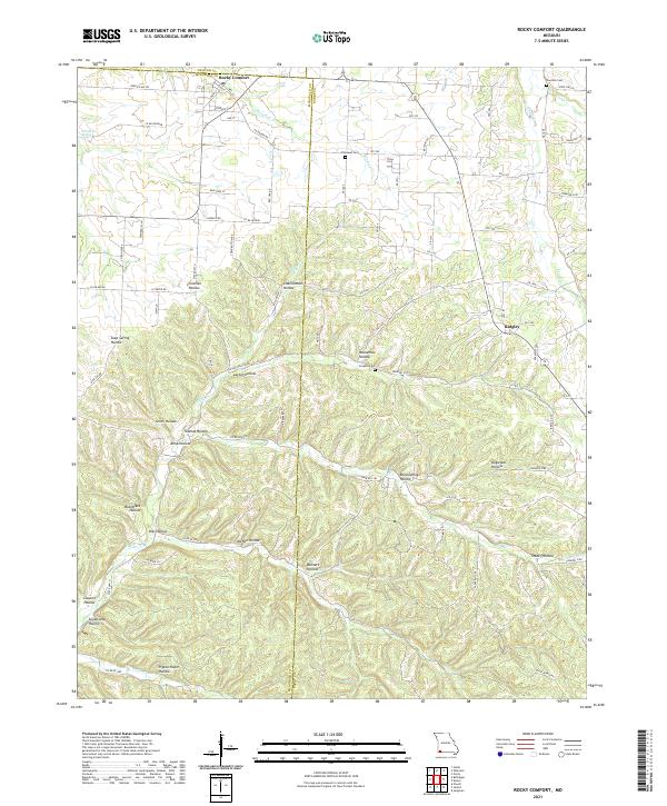
2021 Map of Rocky Comfort
USGS Topo · Published 2021About this map
Rocky Comfort sits at the intersection of State Hwy U and Chitwood Rd, serving as a central hub in this corner of Southwest Missouri. The landscape is defined by an intricate network of drainage systems, where S Indian Cr and Mikes Cr carve through numerous named hollows, including Chairbottom Hollow and Pigeon Roost Hollow. These deep ravines and springs, such as Christian Spring, have historically dictated the placement of roads and homesteads.
Find a feature on this map
84 named features on this map. Tap any name to fly to it.
Don’t see what you’re looking for? This feature index may not catch every label — zoom into the map to look around manually.
Map Details
Editions of this 2021 Rocky Comfort Map
This is the sole edition of this map. No revisions or reprints were ever made.
Other maps of this area

1937 · Cassville
USGS Topo · 1:48,000

1941 · Rocky Comfort
USGS Topo · 1:62,500

1943 · Ritchey
USGS Topo · 1:62,500

1943 · Monett
USGS Topo · 1:62,500

1943 · Rocky Comfort
USGS Topo · 1:62,500

1944 · Cassville
USGS Topo · 1:62,500

1945 · Harrison
USGS Topo · 1:250,000

1949 · Harrison
USGS Topo · 1:250,000

1954 · Harrison
USGS Topo · 1:250,000

1954 · Tulsa
USGS Topo · 1:250,000