Loading...
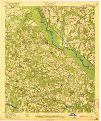
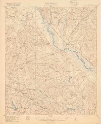
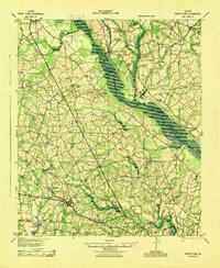
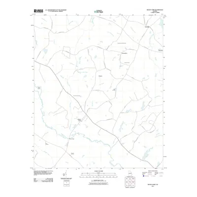
Loading map...1921 Map of Rocky Ford
USGS Topo · Published 1921About this map
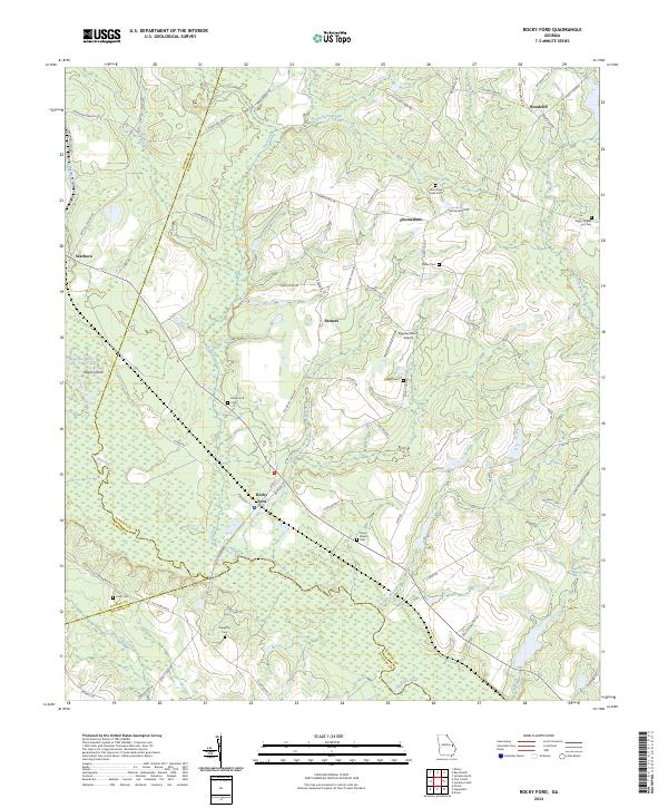
The Ogeechee River carves a winding path through this region, serving as a boundary for Screven, Bulloch, and Jenkins counties. During the early 1920s, the landscape was defined by the Central of Georgia RR, which connects the settlements of Scarboro, Rocky Ford, and Ogeechee. To the southwest, the Midland RR passes through Portal and Kites Spur, illustrating the critical role of rail transport in the rural Georgia economy.
Find a feature on this map
86 named features on this map. Tap any name to fly to it.
Don’t see what you’re looking for? This feature index may not catch every label — zoom into the map to look around manually.
Map Details
Date Portrayed1921
Date Published1921
PublisherU.S. Geological Survey
Map TypeTopographic
Scale1:62,500
Physical Dimensions16.6 x 19.8 inches
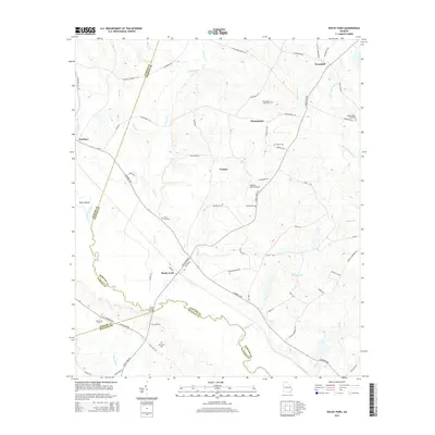
Editions of this 1921 Rocky Ford Map
2 editions found
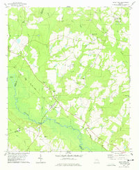
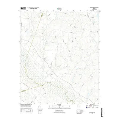
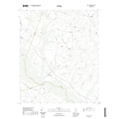
Historical Maps of Portal Through Time
8 maps found
Featured Locations
Source Details
SourceU.S. Geological Survey
CopyrightPublic Domain