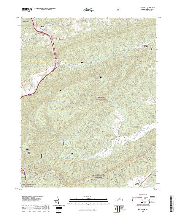
2022 Map of Rocky Gap
USGS Topo · Published 2022About this map
Rocky Gap sits at a strategic mountain pass where Wolf Creek and Clear Fork converge, marking a significant crossroads in the Appalachian landscape of Bland County. This 2022 survey details a region defined by steep ridges and narrow valleys, where small settlements like South Gap and Pumpkin Center are tucked between the massive slopes of Wolf Creek Mtn and Buckhorn Mtn. The map reveals a network of water-carved gaps and hollows, including Dalton Hollow Dr and Mire Br, which have historically dictated the layout of local roads and communities.
Find a feature on this map
31 named features on this map. Tap any name to fly to it.
Don’t see what you’re looking for? This feature index may not catch every label — zoom into the map to look around manually.
Map Details
Editions of this 2022 Rocky Gap Map
This is the sole edition of this map. No revisions or reprints were ever made.
Other maps of this area

1887 · Pocahontas
USGS Topo · 1:125,000

1890 · Dublin
USGS Topo · 1:125,000

1891 · Pocahontas
USGS Topo · 1:125,000

1891 · Dublin
USGS Topo · 1:125,000

1894 · Pocahontas
USGS Topo · 1:125,000

1895 · Pocahontas
USGS Topo · 1:125,000

1913 · Peterstown
USGS Topo · 1:48,000

1913 · Bluefield
USGS Topo · 1:48,000

1916 · Bluefield
USGS Topo · 1:62,500

1916 · Peterstown
USGS Topo · 1:62,500