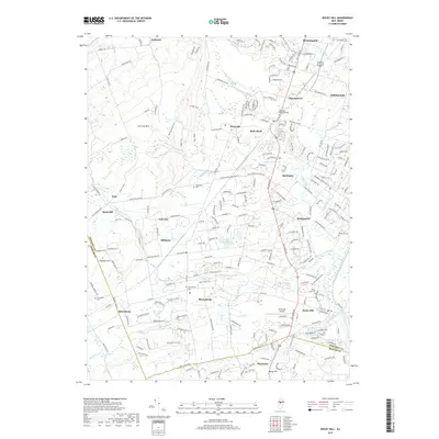
2019 Map of Rocky Hill
USGS Topo · Published 2019About this map
Sourland Mtn anchors the western edge of this Somerset County landscape, where the high ground of the Ridge Trail overlooks a network of rural settlements and waterways. The eastern boundary is defined by the historic path of the Delaware and Raritan Canal alongside the Millstone River, a corridor that shaped regional commerce long before modern suburban growth. This survey captures the area's intricate drainage pattern, from Royce Brook in the north to Beden Brook in the south, reflecting a landscape still largely defined by its natural topography.
Find a feature on this map
211 named features on this map. Tap any name to fly to it.
Don’t see what you’re looking for? This feature index may not catch every label — zoom into the map to look around manually.
Map Details
Editions of this 2019 Rocky Hill Map
This is the sole edition of this map. No revisions or reprints were ever made.
Other maps of this area

1888 · Princeton
USGS Topo · 1:62,500

1890 · High Bridge
USGS Topo · 1:62,500

1890 · Lambertville
USGS Topo · 1:62,500

1891 · Somerville
USGS Topo · 1:62,500

1891 · Lambertville
USGS Topo · 1:62,500

1893 · Somerville
USGS Topo · 1:62,500

1894 · Princeton
USGS Topo · 1:62,500

1894 · Lambertville
USGS Topo · 1:62,500

1898 · High Bridge
USGS Topo · 1:62,500

1898 · Somerville
USGS Topo · 1:62,500
Featured Places
- Franklin Township, NJ
- Hillsborough Township, NJ
- Montgomery Township, NJ
- Hopewell Township, NJ
- Princeton, NJ