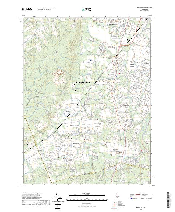
2023 Map of Rocky Hill
USGS Topo · Published 2023About this map
Sourland Mtn defines the western terrain of this central New Jersey landscape, giving way to a network of creeks and brooks that feed the Millstone River corridor. The contemporary layout of Hillsborough and Princeton frames a region where colonial-era crossroads like Blawenburg and Harlingen remain central to the local geography. Significant water infrastructure is visible in the east, where the Delaware and Raritan Canal and the Main Canal run parallel to the river, a remnant of nineteenth-century transport patterns adapted for modern utility.
Find a feature on this map
210 named features on this map. Tap any name to fly to it.
Don’t see what you’re looking for? This feature index may not catch every label — zoom into the map to look around manually.
Map Details
Editions of this 2023 Rocky Hill Map
This is the sole edition of this map. No revisions or reprints were ever made.
Other maps of this area

1888 · Princeton
USGS Topo · 1:62,500

1890 · High Bridge
USGS Topo · 1:62,500

1890 · Lambertville
USGS Topo · 1:62,500

1891 · Somerville
USGS Topo · 1:62,500

1891 · Lambertville
USGS Topo · 1:62,500

1893 · Somerville
USGS Topo · 1:62,500

1894 · Princeton
USGS Topo · 1:62,500

1894 · Lambertville
USGS Topo · 1:62,500

1898 · High Bridge
USGS Topo · 1:62,500

1898 · Somerville
USGS Topo · 1:62,500
Featured Places
- Franklin Township, NJ
- Hillsborough Township, NJ
- Montgomery Township, NJ
- Hopewell Township, NJ
- Princeton, NJ