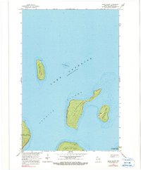
1963 Map of Rocky Island
USGS Topo · Published 1990About this map
Devils Island stands at the northernmost reaches of this Lake Superior survey, defined by its isolated Light and Radio Tower. Part of the Apostle Islands chain within La Pointe Twp, the landscape is a maritime collection of landforms shaped by the lake's currents, including Rocky Island, South Twin Island, and the northern tips of Bear Island and Otter Island.
Find a feature on this map
13 named features on this map. Tap any name to fly to it.
Don’t see what you’re looking for? This feature index may not catch every label — zoom into the map to look around manually.
Map Details
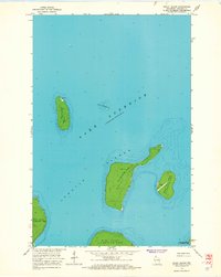
Editions of this 1963 Rocky Island Map
2 editions found
Other maps of this area

1941 · Bayfield
USGS Topo · 1:48,000

1946 · Bayfield
USGS Topo · 1:48,000

1953 · Ashland
USGS Topo · 1:250,000

1954 · Two Harbors
USGS Topo · 1:250,000

1957 · Two Harbors
USGS Topo · 1:250,000

1958 · Ashland
USGS Topo · 1:250,000

1958 · Two Harbors
USGS Topo · 1:250,000

1963 · Cat Island
USGS Topo · 1:24,000

1963 · Rocky Island
USGS Topo · 1:62,500

1963 · Oak Island
USGS Topo · 1:24,000