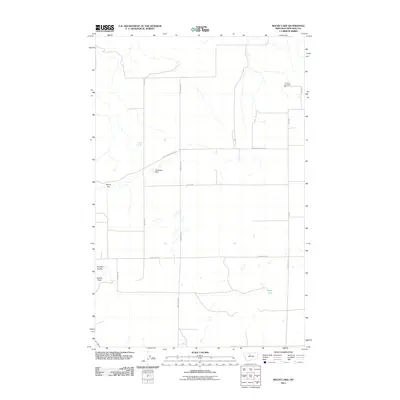
2011 Map of Rocky Lake
USGS Topo · Published 2011About this map
Rocky Lake and the surrounding high plains of Chouteau County define this landscape of early 21st-century rural Montana. The area is characterized by a sparse network of section-line roads, including Bailey Rd and Twin Lakes Rd, which serve scattered agricultural holdings and small water features like Barrel Spring and Godfather Dam. The topography is marked by distinct rises and drainage features such as Round Top, Shaws Peak, and Foucher Coulee, illustrating the transition from flat upland benches to the coulees that carve the Missouri River watershed. Infrastructure in this remote area is anchored by the Elim Vol Fire Dept near Elim Rd, a vital local landmark for the surrounding ranching community. The map provides a detailed view of the modern layout of land parcels and public access routes like Clear Lake Rd and Ohanlon Coulee Rd.
Find a feature on this map
16 named features on this map. Tap any name to fly to it.
Don’t see what you’re looking for? This feature index may not catch every label — zoom into the map to look around manually.
Map Details
Editions of this 2011 Rocky Lake Map
This is the sole edition of this map. No revisions or reprints were ever made.
Other maps of this area

1890 · Fort Benton
USGS Topo · 1:250,000

1892 · Fort Benton
USGS Topo · 1:250,000

1897 · Fort Benton
USGS Topo · 1:250,000

1953 · Rocky Lake
USGS Topo · 1:24,000

1953 · Loma East
USGS Topo · 1:24,000

1953 · O'Hanlon Coulee
USGS Topo · 1:24,000

1953 · Loma West
USGS Topo · 1:24,000

1953 · Stranahan
USGS Topo · 1:24,000

1954 · Great Falls
USGS Topo · 1:250,000

1957 · Great Falls
USGS Topo · 1:250,000