
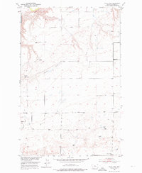
1953 Map of Rocky Lake
USGS Topo · Published 1954About this map
Missouri River bluffs and the winding drainages of the Missouri River Basin characterize this Chouteau County landscape during the early 1950s. The map captures a high-plateau environment defined by ephemeral water sources and isolated rural infrastructure. Notable landmarks include the strangely named Round Tap and the cautionary Barrel Spring (Polluted), indicating the importance of viable water sources in this arid stretch.
Find a feature on this map
14 named features on this map. Tap any name to fly to it.
Don’t see what you’re looking for? This feature index may not catch every label — zoom into the map to look around manually.
Map Details
Editions of this 1953 Rocky Lake Map
2 editions found
Other maps of this area

1890 · Fort Benton
USGS Topo · 1:250,000

1892 · Fort Benton
USGS Topo · 1:250,000

1897 · Fort Benton
USGS Topo · 1:250,000

1953 · Loma East
USGS Topo · 1:24,000

1953 · O'Hanlon Coulee
USGS Topo · 1:24,000

1953 · Loma West
USGS Topo · 1:24,000

1953 · Stranahan
USGS Topo · 1:24,000

1954 · Great Falls
USGS Topo · 1:250,000

1957 · Great Falls
USGS Topo · 1:250,000
1972 · Stranahan SE
USGS Topo · 1:24,000