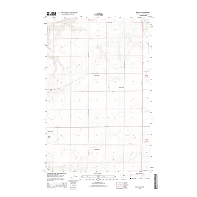
2014 Map of Rocky Lake
USGS Topo · Published 2014About this map
Rocky Lake sits at the center of this Chouteau County landscape, reflecting the sparse but distinct hydrology of the Montana plains. The terrain is defined by a series of deep drainages including Smith Coulee, Rowe Coulee, and Foucher Coulee, which cut through the high ground marked by prominent elevations like Round Top and Shaws Peak. A specialized network of rural roads, such as Ohanlon Coulee Rd and Clear Lake Rd, provides access across the township and range lines, while the Missouri Breaks Loop suggests the proximity of this area to the breaks of the Missouri River. Significant landmarks like Barrel Spring offer clues to the importance of localized water sources in this expansive ranching and agricultural region during the early twenty-first century.
Find a feature on this map
25 named features on this map. Tap any name to fly to it.
Don’t see what you’re looking for? This feature index may not catch every label — zoom into the map to look around manually.
Map Details
Editions of this 2014 Rocky Lake Map
This is the sole edition of this map. No revisions or reprints were ever made.
Other maps of this area

1890 · Fort Benton
USGS Topo · 1:250,000

1892 · Fort Benton
USGS Topo · 1:250,000

1897 · Fort Benton
USGS Topo · 1:250,000

1953 · Rocky Lake
USGS Topo · 1:24,000

1953 · Loma East
USGS Topo · 1:24,000

1953 · O'Hanlon Coulee
USGS Topo · 1:24,000

1953 · Loma West
USGS Topo · 1:24,000

1953 · Stranahan
USGS Topo · 1:24,000

1954 · Great Falls
USGS Topo · 1:250,000

1957 · Great Falls
USGS Topo · 1:250,000