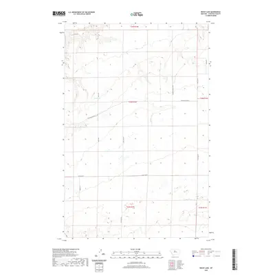
2020 Map of Rocky Lake
USGS Topo · Published 2020About this map
Rocky Lake and the drainage of O'Hanlon Coulee anchor this high plains landscape in Chouteau County. The 2020 topography reveals a sparsely settled region defined by the Public Land Survey System, with township and range lines like t24n r10e carving the terrain into a distinct grid. Water sources are critical in this environment, evidenced by isolated features like Barrel Spring nestled among the contours.
Find a feature on this map
14 named features on this map. Tap any name to fly to it.
Don’t see what you’re looking for? This feature index may not catch every label — zoom into the map to look around manually.
Map Details
Editions of this 2020 Rocky Lake Map
This is the sole edition of this map. No revisions or reprints were ever made.
Other maps of this area

1890 · Fort Benton
USGS Topo · 1:250,000

1892 · Fort Benton
USGS Topo · 1:250,000

1897 · Fort Benton
USGS Topo · 1:250,000

1953 · Rocky Lake
USGS Topo · 1:24,000

1953 · Loma East
USGS Topo · 1:24,000

1953 · O'Hanlon Coulee
USGS Topo · 1:24,000

1953 · Loma West
USGS Topo · 1:24,000

1953 · Stranahan
USGS Topo · 1:24,000

1954 · Great Falls
USGS Topo · 1:250,000

1957 · Great Falls
USGS Topo · 1:250,000