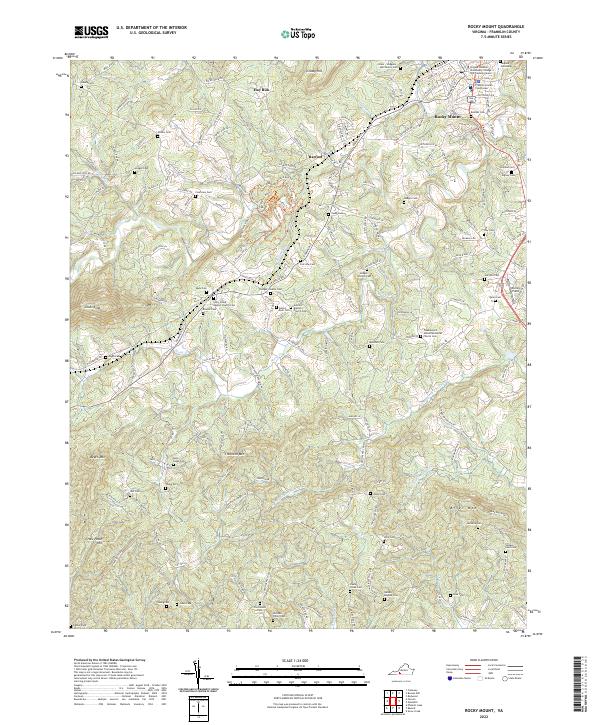
2022 Map of Rocky Mount
USGS Topo · Published 2022About this map
The Franklin County Courthouse serves as the focal point for Rocky Mount, where the town's grid of streets like Diamond Ave and Franklin St meets the winding course of the Pigg River. This modern survey reveals a landscape where civic life and education at the Virginia Western Community College exist alongside deeply rooted family histories. Numerous family burial grounds, including the Greer-Hodges-Hall Family Cem and the Nelson McGhee Cem, are scattered across the terrain from the slopes of Grassy Hill to the valley of Story Creek.
Find a feature on this map
174 named features on this map. Tap any name to fly to it.
Don’t see what you’re looking for? This feature index may not catch every label — zoom into the map to look around manually.
Map Details
Editions of this 2022 Rocky Mount Map
This is the sole edition of this map. No revisions or reprints were ever made.
Other maps of this area

1890 · Roanoke
USGS Topo · 1:125,000

1890 · Christiansburg
USGS Topo · 1:125,000

1891 · Roanoke
USGS Topo · 1:125,000

1925 · Rocky Mount
USGS Topo · 1:48,000

1927 · Rocky Mount
USGS Topo · 1:62,500

1944 · Rocky Mount
USGS Topo · 1:62,500

1947 · Roanoke
USGS Topo · 1:250,000

1950 · Elliston
USGS Topo · 1:62,500

1951 · Boones Mill
USGS Topo · 1:62,500

1953 · Winston-Salem
USGS Topo · 1:250,000