
Loading...
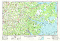
Loading map...1953 Map of Rocky Mount
USGS Topo · Published 1964About this map
Rocky Mount, Wilson, and Goldsboro serve as the primary hubs for this mid-century portrait of eastern North Carolina. The landscape is defined by its complex hydrology, where the Tar River and Neuse River drain into the massive Pamlico Sound. This map documents a transitional period for the Inner Banks and Tidewater regions, showing the extensive Dismal Swamp and specialized wetlands like the Bay City Pocosin before modern drainage and development significantly altered these ecosystems.
Find a feature on this map
68 named features on this map. Tap any name to fly to it.
Don’t see what you’re looking for? This feature index may not catch every label — zoom into the map to look around manually.
Map Details
Date Portrayed1953
Date Published1964
PublisherU.S. Geological Survey
Map TypeTopographic
Scale1:250000
Physical Dimensions32 x 22.1 inches
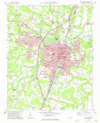
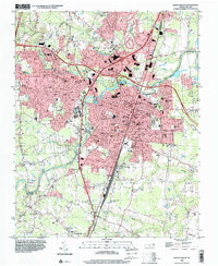
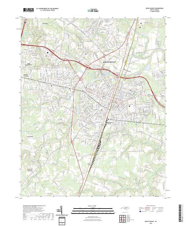
Editions of this 1953 Rocky Mount Map
4 editions found
Historical Maps of Heritage Village Through Time
9 maps found



Featured Locations
Source Details
SourceU.S. Geological Survey
CopyrightPublic Domain