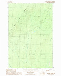
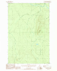
1987 Map of Rocky Mtn NW
USGS Topo · Published 1987About this map
Quebec and Maine meet along a remote international boundary defined by the Canada-United States border, where the deep North Woods landscape is shaped by the complex hydrology of the Saint John River watershed. This late-twentieth-century survey documents a wild timberland region within T 1 7 R 1 3 W E L S, dominated by the winding course of the Pocwock Stream and its tributaries, including the West Branch and East Branch. Isolated Gravel Pits and limited road networks suggest the area's primary connection to the logging industry. The map captures the meeting of international and local jurisdictions, noting the MRC de Kamouraska and Aroostook County line. Further north, the Black River and Little Branch flow through the township of T 1 8 R 1 3 W E L S, illustrating the drainage patterns that have long dictated the movement of people and timber through this borderland wilderness.
Find a feature on this map
15 named features on this map. Tap any name to fly to it.
Don’t see what you’re looking for? This feature index may not catch every label — zoom into the map to look around manually.
Map Details
Editions of this 1987 Rocky Mtn NW Map
This is the sole edition of this map. No revisions or reprints were ever made.
Other maps of this area

1955 · Rocky Mountain
USGS Topo · 1:62,500

1955 · Little East Lake
USGS Topo · 1:62,500

1955 · Rocky Brook
USGS Topo · 1:62,500

1962 · Edmundston
USGS Topo · 1:250,000

1976 · East Lake
USGS Topo · 1:24,000

1976 · East Lake SE
USGS Topo · 1:24,000
1987 · Rocky Mountain SW
USGS Topo · 1:24,000
1987 · Schoolhouse Rapids
USGS Topo · 1:24,000
1987 · Morrison Brook
USGS Topo · 1:24,000
1987 · Rocky Mountain
USGS Topo · 1:24,000