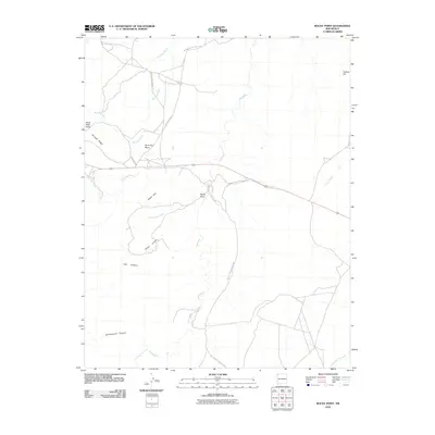
2010 Map of Rocky Point
USGS Topo · Published 2010About this map
Rocky Point serves as the focal point for this 2010 topographic survey of the Shiprock Agency region, where the high desert is defined by a network of seasonal drainages and prominent geological features. The land is characterized by distinctive landforms such as Rock Pile Mesa, Bruised Ridge, and Black Rock Point, which rise above the expansive White Flat. Transport through this arid landscape relies on established routes including Indian Service Route 1C and BIA Route 5113, illustrating the modern infrastructure within the Navajo Nation. Hydrology is dominated by significant washes like Beclabito Wash and Red Wash, alongside more localized features such as First Gray Wash and Second Gray Wash. These corridors carve through the terrain, creating named depressions like Rocky Canyon, Last Canyon, and Cottonwood Canyon, providing a detailed look at the drainage patterns of northwestern New Mexico.
Find a feature on this map
20 named features on this map. Tap any name to fly to it.
Don’t see what you’re looking for? This feature index may not catch every label — zoom into the map to look around manually.
Map Details
Editions of this 2010 Rocky Point Map
This is the sole edition of this map. No revisions or reprints were ever made.
Other maps of this area

1889 · Chaco
USGS Topo · 1:250,000

1892 · Chaco
USGS Topo · 1:250,000

1892 · Canyon De Chelly
USGS Topo · 1:250,000

1934 · Ship Rock
USGS Topo · 1:62,500

1934 · Rattlesnake
USGS Topo · 1:62,500

1937 · Ship Rock
USGS Topo · 1:62,500

1937 · Rattlesnake
USGS Topo · 1:62,500

1953 · Redrock Valley NE
USGS Topo · 1:24,000

1953 · Pastora Peak NE
USGS Topo · 1:24,000

1953 · Pastora Peak SE
USGS Topo · 1:24,000