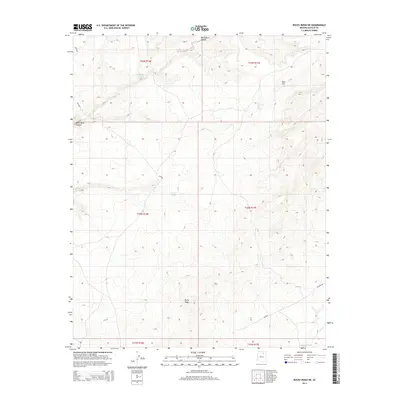
2014 Map of Rocky Ridge NE
USGS Topo · Published 2014About this map
Rocky Ridge dominates the southern portion of this high-desert landscape within the Chinle Agency, where the intricate drainages of the Colorado Plateau are clearly defined. In the north, White Ruin Canyon and Ruin Hill suggest the ancient archaeological footprint of the region, anchored by vital water sources like Sweetwater Spring and Big Mountain Ruin Spring. The transportation network is defined by Bureau of Indian Affairs routes, including Bia-8020 and Bia-8030, which navigate the elevation changes between the namesake ridge and the southern Dinnebito Wash. This 2014 survey documents a territory where modern road designations such as Big Man Rd intersect with traditional land use, highlighting the essential relationship between reliable springs and the high-elevation terrain of the Navajo Nation.
Find a feature on this map
17 named features on this map. Tap any name to fly to it.
Don’t see what you’re looking for? This feature index may not catch every label — zoom into the map to look around manually.
Map Details
Editions of this 2014 Rocky Ridge NE Map
This is the sole edition of this map. No revisions or reprints were ever made.
Other maps of this area

1883 · Marsh Pass
USGS Topo · 1:250,000

1892 · Marsh Pass
USGS Topo · 1:250,000

1956 · Marble Canyon
USGS Topo · 1:250,000

1959 · Marble Canyon
USGS Topo · 1:250,000

1961 · Marble Canyon
USGS Topo · 1:250,000
1967 · Hard Rocks
USGS Topo · 1:24,000
1967 · Big Mountain Dam
USGS Topo · 1:24,000
1967 · Rocky Ridge Se
USGS Topo · 1:24,000
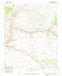
1967 · Rocky Ridge NW
USGS Topo · 1:24,000
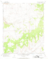
1967 · Rocky Ridge SW
USGS Topo · 1:24,000