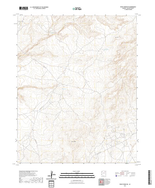
2021 Map of Rocky Ridge NE
USGS Topo · Published 2021About this map
Rocky Ridge serves as the primary settlement focus within this arid high-desert landscape in Navajo County. The terrain is defined by its strategic water sources and subtle relief, featuring isolated points like Ruin Hill and the seasonal drainage of Dinnebito Wash. A network of unpaved roads, including Indian Rte 45, Indian Rte 6420, and Indian Rte 8027, provides the essential transportation framework across the township and range boundaries. The placement of Sweetwater Spring, Big Mountain Ruin Spring, and Horse Spring suggests the historical and ongoing importance of specific water points for habitation and grazing in this part of the Navajo Nation. These features indicate a landscape where geography and survival are closely linked, anchored by the community at Rocky Ridge.
Find a feature on this map
15 named features on this map. Tap any name to fly to it.
Don’t see what you’re looking for? This feature index may not catch every label — zoom into the map to look around manually.
Map Details
Editions of this 2021 Rocky Ridge NE Map
This is the sole edition of this map. No revisions or reprints were ever made.
Other maps of this area

1883 · Marsh Pass
USGS Topo · 1:250,000

1892 · Marsh Pass
USGS Topo · 1:250,000

1956 · Marble Canyon
USGS Topo · 1:250,000

1959 · Marble Canyon
USGS Topo · 1:250,000

1961 · Marble Canyon
USGS Topo · 1:250,000
1967 · Hard Rocks
USGS Topo · 1:24,000
1967 · Big Mountain Dam
USGS Topo · 1:24,000
1967 · Rocky Ridge Se
USGS Topo · 1:24,000
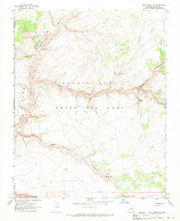
1967 · Rocky Ridge NW
USGS Topo · 1:24,000
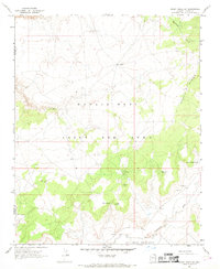
1967 · Rocky Ridge SW
USGS Topo · 1:24,000