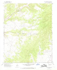
1967 Map of Rocky Ridge NE
USGS Topo · Published 1969About this map
Navajo - Hopi Joint Use Area lands define this 1960s landscape, illustrating the complex administrative and cultural geography of Navajo County. The terrain is marked by significant hydrological features and evidence of ancient habitation, including a Cliff Dwelling and landmarks like Ruin Hill and White Ruin Canyon. These names suggest a landscape deeply layered with history long before the arrival of the U.S. Geological Survey.
Find a feature on this map
14 named features on this map. Tap any name to fly to it.
Don’t see what you’re looking for? This feature index may not catch every label — zoom into the map to look around manually.
Map Details
Editions of this 1967 Rocky Ridge NE Map
This is the sole edition of this map. No revisions or reprints were ever made.
Other maps of this area

1883 · Marsh Pass
USGS Topo · 1:250,000

1892 · Marsh Pass
USGS Topo · 1:250,000

1956 · Marble Canyon
USGS Topo · 1:250,000

1959 · Marble Canyon
USGS Topo · 1:250,000

1961 · Marble Canyon
USGS Topo · 1:250,000
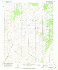
1967 · Hard Rocks
USGS Topo · 1:24,000
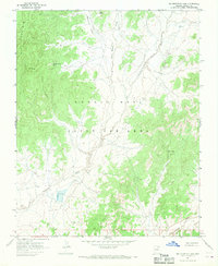
1967 · Big Mountain Dam
USGS Topo · 1:24,000
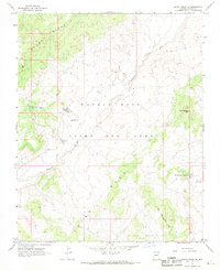
1967 · Rocky Ridge Se
USGS Topo · 1:24,000
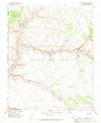
1967 · Rocky Ridge NW
USGS Topo · 1:24,000
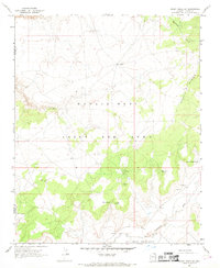
1967 · Rocky Ridge SW
USGS Topo · 1:24,000