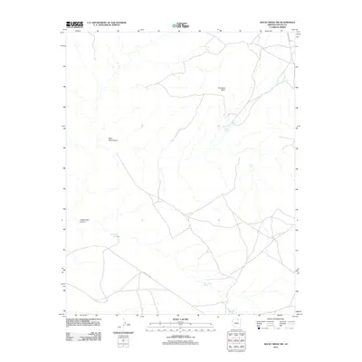
2011 Map of Rocky Ridge NW
USGS Topo · Published 2011About this map
White Ruin Canyon and the high expanse of Thin Rock Mesa dominate this landscape in Navajo County. This 2011 survey illustrates a region defined by deep drainages and vital water points in an arid environment. The network of seasonal hydrology is anchored by named locations such as Danger Spring, Sand Spring, and Nakai Yazzie Spring, which serve as critical landmarks for local navigation and livestock. Transportation is facilitated by established corridors including Indian Rte 6610 and Indian Rte 6620, which traverse the high desert floor to connect remote areas. The presence of features like Toh Ah Chi and Cottonwood Canyon highlights the convergence of geological naming and local identification in this section of Arizona.
Find a feature on this map
10 named features on this map. Tap any name to fly to it.
Don’t see what you’re looking for? This feature index may not catch every label — zoom into the map to look around manually.
Map Details
Editions of this 2011 Rocky Ridge NW Map
This is the sole edition of this map. No revisions or reprints were ever made.
Other maps of this area

1883 · Marsh Pass
USGS Topo · 1:250,000

1892 · Marsh Pass
USGS Topo · 1:250,000

1956 · Marble Canyon
USGS Topo · 1:250,000

1959 · Marble Canyon
USGS Topo · 1:250,000

1961 · Marble Canyon
USGS Topo · 1:250,000
1967 · Rocky Ridge Se
USGS Topo · 1:24,000
1967 · Rocky Ridge NW
USGS Topo · 1:24,000
1967 · Bat Spring
USGS Topo · 1:24,000
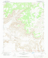
1967 · Pillars of Hercules
USGS Topo · 1:24,000
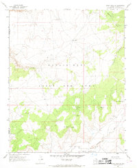
1967 · Rocky Ridge SW
USGS Topo · 1:24,000