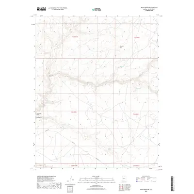
2018 Map of Rocky Ridge NW
USGS Topo · Published 2018About this map
Moenkopi Wash and its associated drainage systems define this high-desert landscape in Navajo County. The terrain is characterized by dramatic elevation shifts and named geologic formations like Thin Rock Mesa and the deeply etched White Ruin Canyon. This 2018 survey reveals a territory where water sources are vital landmarks, scattered across the arid environment. Notable examples include Sand Spring, Danger Spring, and Nakai Yazzie Spring, which serve as critical reference points in an area largely devoid of dense modern settlement. Transport through this region relies on Indian Rte 45, which winds through the southern and western portions of the quadrangle. The map captures the specialized land management of the area, including Cottonwood Canyon and the culturally significant watering spot at Toh Ah Chi, providing a clear look at the intersection of topography and indigenous road networks.
Find a feature on this map
17 named features on this map. Tap any name to fly to it.
Don’t see what you’re looking for? This feature index may not catch every label — zoom into the map to look around manually.
Map Details
Editions of this 2018 Rocky Ridge NW Map
This is the sole edition of this map. No revisions or reprints were ever made.
Other maps of this area

1883 · Marsh Pass
USGS Topo · 1:250,000

1892 · Marsh Pass
USGS Topo · 1:250,000

1956 · Marble Canyon
USGS Topo · 1:250,000

1959 · Marble Canyon
USGS Topo · 1:250,000

1961 · Marble Canyon
USGS Topo · 1:250,000
1967 · Rocky Ridge Se
USGS Topo · 1:24,000
1967 · Rocky Ridge NW
USGS Topo · 1:24,000
1967 · Bat Spring
USGS Topo · 1:24,000
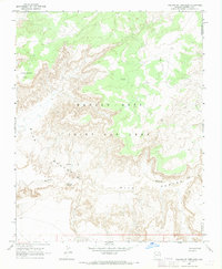
1967 · Pillars of Hercules
USGS Topo · 1:24,000
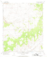
1967 · Rocky Ridge SW
USGS Topo · 1:24,000