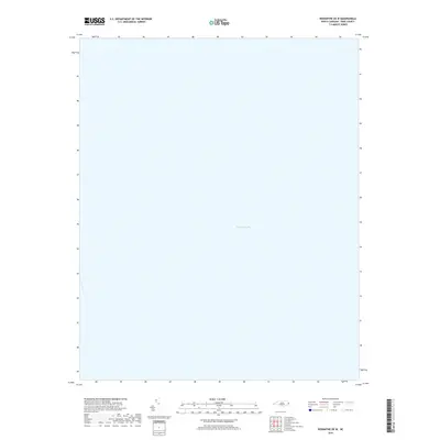
2019 Map of Rodanthe OE W
USGS Topo · Published 2019About this map
Pamlico Sound dominates this coastal survey, providing an expansive view of the open water just west of the Outer Banks. This specific sheet focuses on the maritime environment of Dare County, North Carolina, capturing the sound's character during the late 2010s. While terrestrial features are absent on this particular quadrangle, the map documents the hydrography of one of the largest lagoon ecosystems on the Atlantic coast. It serves as a spatial record of the shallow waters that have historically defined the regional economy and transport patterns of the North Carolina coast.
Find a feature on this map
1 named feature on this map. Tap any name to fly to it.
Don’t see what you’re looking for? This feature index may not catch every label — zoom into the map to look around manually.
Map Details
Editions of this 2019 Rodanthe OE W Map
This is the sole edition of this map. No revisions or reprints were ever made.
Other maps of this area

1943 · Roanoke Island
USGS Topo · 1:125,000

1953 · Stumpy Point
USGS Topo · 1:24,000

1955 · Wanchese
USGS Topo · 1:250,000

1957 · Manteo
USGS Topo · 1:250,000

1960 · Manteo
USGS Topo · 1:250,000

1985 · Cape Hatteras
USGS Topo · 1:100,000

1985 · Manteo
USGS Topo · 1:100,000
2002 · Stumpy Point
USGS Topo · 1:24,000
2011 · Long Shoal Point OE E
USGS Topo · 1:24,000
2011 · Gull Island
USGS Topo · 1:24,000